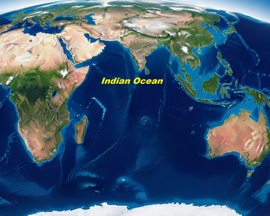
The Indian Ocean spans from Africa to Southeast Asia and Australia. In this article, we will take a closer look at the bottom topography of the Indian Ocean. The Indian Ocean is the third-largest oceanic division in the world. Much of its surface is studied for climatic and navigational purposes, but the bottom topography of the Indian Ocean has geological, ecological, and tectonic significance.
Introduction to the Indian Ocean
The Indian Ocean is the third-largest ocean in the world, covering approximately 20% of the Earth's water surface. It is a unique and strategically significant ocean, bordered by the Indian subcontinent to the north, Africa to the west, Australia to the east, and Antarctica to the south.
Unlike the Atlantic and Pacific Oceans, the Indian Ocean is almost entirely enclosed by landmasses. It has rich marine biodiversity and natural resources, and has been a cradle of ancient maritime trade routes, continuing to play a vital role in global commerce, geopolitics, and environmental balance. Its waters influence monsoon systems, support diverse ecosystems, and connect a wide array of cultures and economies across three continents.
Meaning of Bottom Topography
"Bottom topography" refers to the shape and features of the ocean floor or the bottom of any body of water. Just as land topography describes the mountains, valleys, plains, and other features on Earth's surface, bottom topography describes the underwater landscape.
Division of the Indian Ocean by Johnson
On the basis of regional features, Johnson divided the Indian Ocean into three zones:
- Western Zone: Region between the African Coast and Mid-Indian Oceanic Ridge. This zone has many islands and the average depth is low, about 3,650 meters.
- Eastern Zone: This is the deepest of all the regions and has narrow continental shelves and steep continental slopes.
- Central Zone: It represents the mid-oceanic ridge where tiny islands are located.
Features of Bottom Topography of Indian Ocean
The continental shelf is the submerged extension of the continent, found along the margins of the Indian Ocean. These shelves vary in width—narrow along the African coast, and broader near India, Indonesia, and Australia. Rich in marine resources and oil deposits, these shelves are significant for economic and ecological reasons. They are wider along the Arabian Sea and along the Bay of Bengal.
Beyond the shelf lies the continental slope, a steep area leading down to the deep ocean floor. This is followed by the continental rise, formed by accumulated sediments. These regions act as transition zones between the shallow seas and deep abyssal plains.
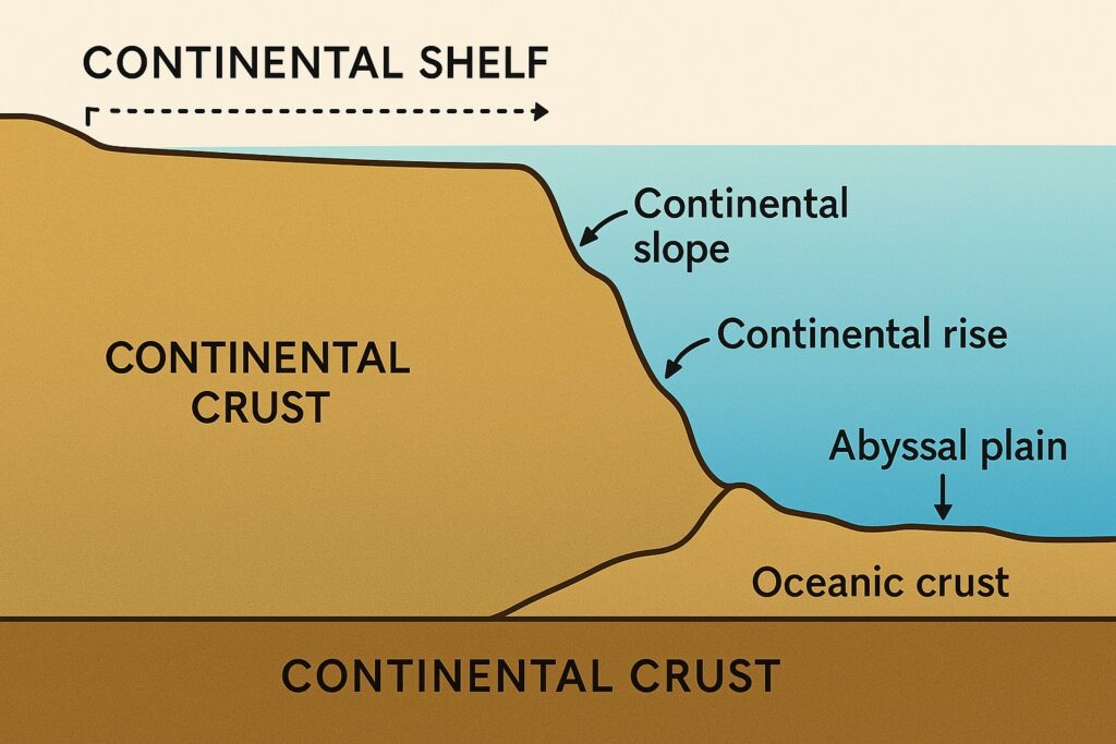
These are vast, flat regions of the deep ocean floor, typically found at depths between 3,000 to 6,000 meters. The Arabian Abyssal Plain and the Wharton Basin are prominent examples. These plains are covered by layers of sediments from rivers and marine organisms.
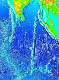
The Mid-Indian Oceanic Ridge is a north-south oriented underwater mountain chain stretching from the southern tip of the Indian Peninsula to Antarctica.
- Where parts of the ridge rise above sea level, islands are formed.
- Near India, it is called the Laccadive-Chagos Ridge (Maldive Ridge) with a width of about 320 km.
- Southward, it expands near the equator into the Chagos–St. Paul Ridge (width remains ~320 km up to 30°S).
- Between 30°S and 50°S, it widens further into the Amsterdam–St. Paul Plateau (up to 1,600 km wide).
- Beyond 50°S, it splits into two branches:
- Western branch: Kerguelen–Gaussberg Ridge (NW–SE direction).
- Eastern branch: Indian–Antarctic Ridge.
It is a divergent tectonic boundary, where the Indo-Australian Plate, African Plate, and Antarctic Plate are slowly moving apart, allowing magma from the mantle to rise and form new oceanic crust.
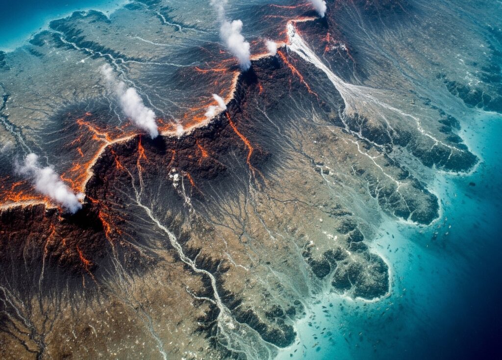
These ridges are geologically active, often associated with earthquakes, volcanic activity, and hydrothermal vents, making them important features in the study of plate tectonics and seafloor spreading.
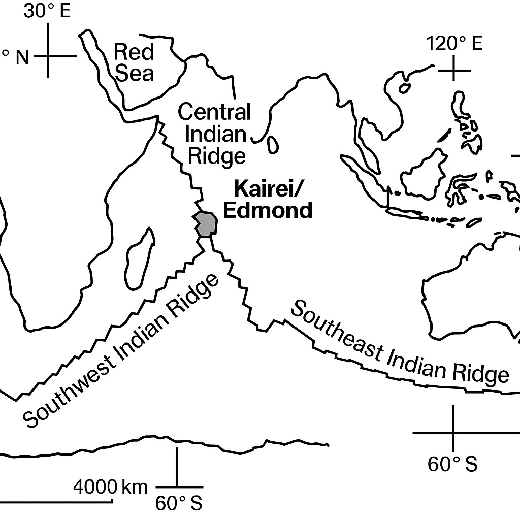
Though fewer in number compared to the Pacific Ocean, the Indian Ocean has some significant trenches:
- Sunda Trench (Java Trench): Located off the coast of Indonesia, this trench is formed due to the subduction of the Indo-Australian Plate beneath the Eurasian Plate. It reaches depths of over 7,000 meters and is one of the deepest parts of the Indian Ocean.
- Mauritius Trench (recently mapped) lies in the southwestern part and is still being studied for its geomorphological importance.
The ocean floor is dotted with seamounts (underwater volcanoes) and guyots (flat-topped seamounts). Some of these have emerged above sea level to form islands, such as:
- Chagos Archipelago
- Seychelles
- Maldives – which are atolls formed by coral reefs atop submerged volcanic islands.
- Lakshadweep – also a coral-based structure.
These features not only provide biodiversity hotspots but also act as markers of past tectonic and volcanic activity.
- Kerguelen Plateau: A massive volcanic plateau in the southern Indian Ocean, one of the largest in the world. Formed by hotspot volcanic activity.
- Chagos-Laccadive Plateau: Extending from the Maldives to the Seychelles, a significant submarine elevation.
- Ninety East Ridge: A submarine ridge that runs through the central Indian Ocean. Characterized by a series of large seamounts and volcanic ridges rising several thousand meters above the abyssal plain. Formed by tectonic movement and volcanism.
Found along active ridge systems (e.g., Central Indian Ridge), they release mineral-rich, hot water and support unique deep-sea life.
The Indian Ocean floor is layered with terrigenous, pelagic, and biogenic sediments. The Indus and Ganges-Brahmaputra rivers contribute massive sediment loads to the Arabian Sea and Bay of Bengal respectively. Ocean currents play a role in transporting and depositing these sediments, further shaping the seabed over time.
Importance of Bottom Topography
The bottom topography of the Indian Ocean is important for a variety of scientific, economic, and strategic reasons. For example, the ocean floor is home to a wide range of valuable mineral resources, including manganese nodules, hydrothermal vents, and other minerals that are critical to modern industry and technology. In addition, the ocean floor plays a key role in the Earth's climate system, influencing the distribution of ocean currents, the amount of heat that is stored in the ocean, and the exchange of carbon dioxide between the atmosphere and the ocean.
Conclusion
The bottom topography of the Indian Ocean reflects complex geological and tectonic interactions, featuring massive ridges, trenches, plateaus, and abyssal plains that profoundly impact regional climate, marine biodiversity, and geodynamics.