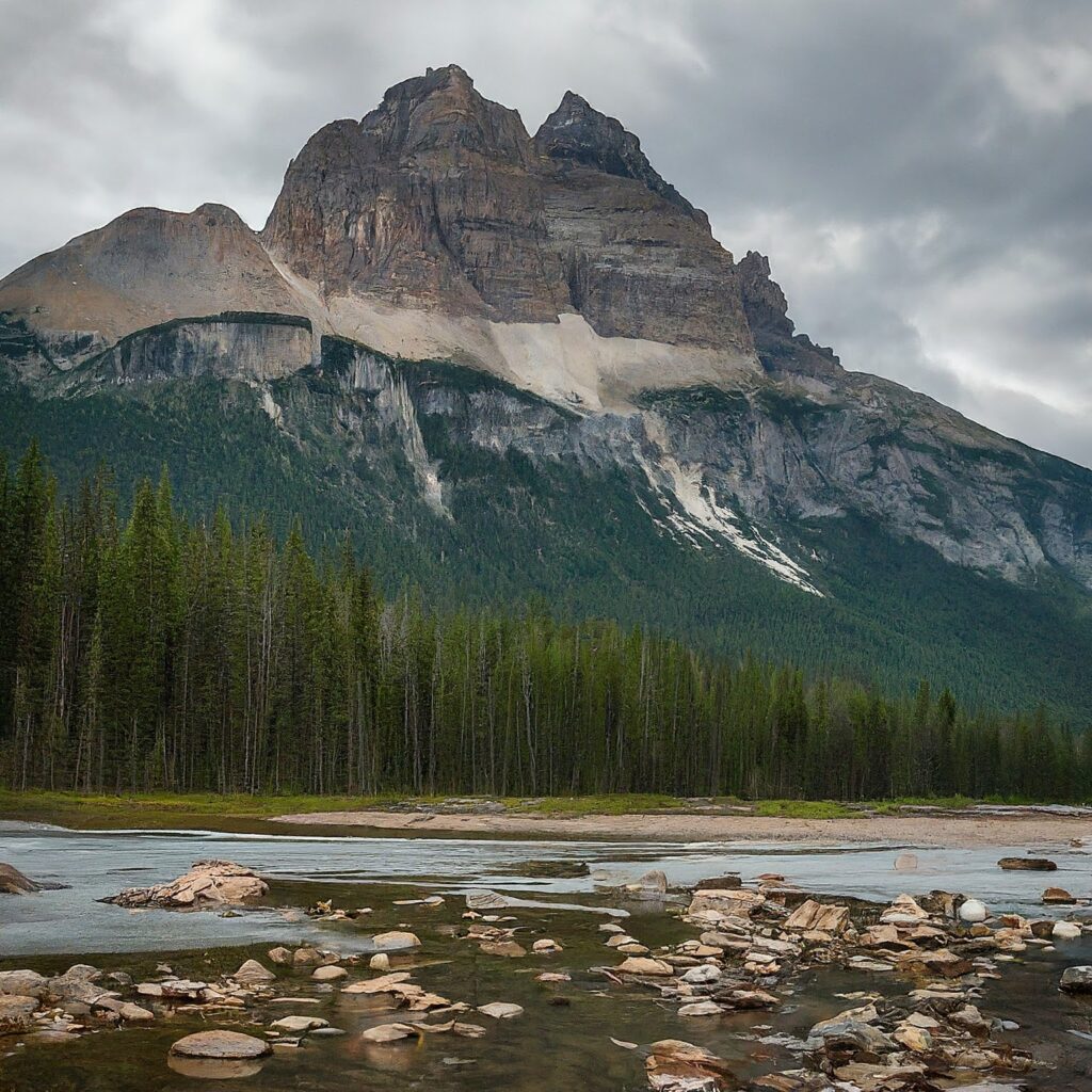
The base level of erosion refers to the lowest point to which a river or a stream can erode its channel. It can be either a temporary or permanent feature that limits the erosive power of a river or a stream.

Table of Contents
What is the Base Level of Erosion?
The base level of erosion refers to the lowest point to which a stream or river can erode the land. This level can be either sea level or lake level. The base level of erosion plays a critical role in shaping the landscape by controlling the rate and amount of erosion that can occur in a particular area.
Types of Base Level
Types of Base Level
| Ultimate | Local |
|---|---|
| Sea | Lake, Dam |
Ultimate Base Level
This is the lowest level that a river can erode its channel, which is usually the sea level. The ultimate base level is a permanent feature that cannot be lowered any further by the erosive power of the river.

Local Base Level
This is a temporary feature that limits the erosive power of a river or streams at a local level. It can be a lake, a resistant rock layer, or a man-made structure like a dam. The local base level can be raised or lowered by changes in the landscape or human activities.
Difference between Ultimate Base Level and Local Base Level
The global base level refers to the sea level, which is the ultimate base level for all rivers and streams that flow into it. This means that the level of erosion that a river can achieve is ultimately limited by the height of the sea level.
On the other hand, the local base level refers to any other level that limits the amount of erosion that a river can achieve in a particular area. For example, a dam, lake, or resistant rock layer can act as a local base level of erosion for a river or stream in a specific location.
| Global Base Level of Erosion | Local Base Level of Erosion | |
|---|---|---|
| Definition | The lowest level to which a river can erode its bed, which is the sea level. | Any level, other than the sea level, limits the amount of erosion that a river can achieve in a particular area. |
| Scope | Applicable to all rivers and streams that flow into the sea. | Applicable only to a specific location or area where a local factor limits the level of erosion. |
| Limiting Factor | Sea level | Any other factor that restricts the amount of erosion a river can achieve, such as dams, lakes, or resistant rock layers. |
| Importance | Determines the ultimate limit of erosion that a river can achieve. | Influences the extent and rate of erosion in a specific location, which can have significant impacts on the landscape. |
| Changes | Changes in the global base level of erosion occur over long geological periods, such as due to tectonic movements or sea level changes. | Changes in the local base level of erosion can occur more rapidly, such as due to the construction of a dam or the removal of a resistant rock layer. |
"The polycyclic relief features of Chhotanagpur plateau was formed due to changes in base level."
Factors Affecting Base
The base level can be affected by several factors, including:
1. Tectonic activity: Tectonic activity, such as the uplift or subsidence of the earth’s crust, can change the base level.
2. Climate: Changes in climate, such as increased rainfall or drought, can also affect the base level.
3. Lithology: The type and structure of the underlying rock can also affect the base.
4. Human activity: Human activities such as mining, deforestation, and construction can also alter the base level.
Effects on the Process of Cycle of Erosion
1. Change in the rate of erosion: A change in base level can affect the rate of erosion. If the base level drops, then the river will have more energy to erode the landscape and will cause the rate of erosion to increase. On the other hand, if the base level rises, the river will have less energy, and the rate of erosion will decrease.
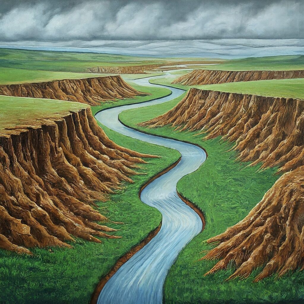
2. Formation of new features: Changes in the base level can cause the formation of new features such as waterfalls, rapids, and meanders. When the base level drops, the river will erode the landscape more quickly, leading to the formation of steep slopes, waterfalls, and rapids. When the base level rises, the river will erode less quickly, causing the formation of meanders and floodplains.
3. Change in river course: Its can cause the river to change its course. If the base level drops, the river may start to flow in a new direction, forming a new river channel. If the base level rises, the river may become blocked and change course, flowing in a new direction.
4. Formation of deltas: When a river flows into the sea, changes in the base level can cause the formation of deltas. If the sea level rises, the river may deposit sediment on its floodplain and build a delta. If the sea level drops, the delta may become exposed, and the river may start to erode the delta.
Overall, changes in base level can have significant impacts on the landscape, affecting the rate and extent of erosion, as well as the formation of new features and the course of the river.