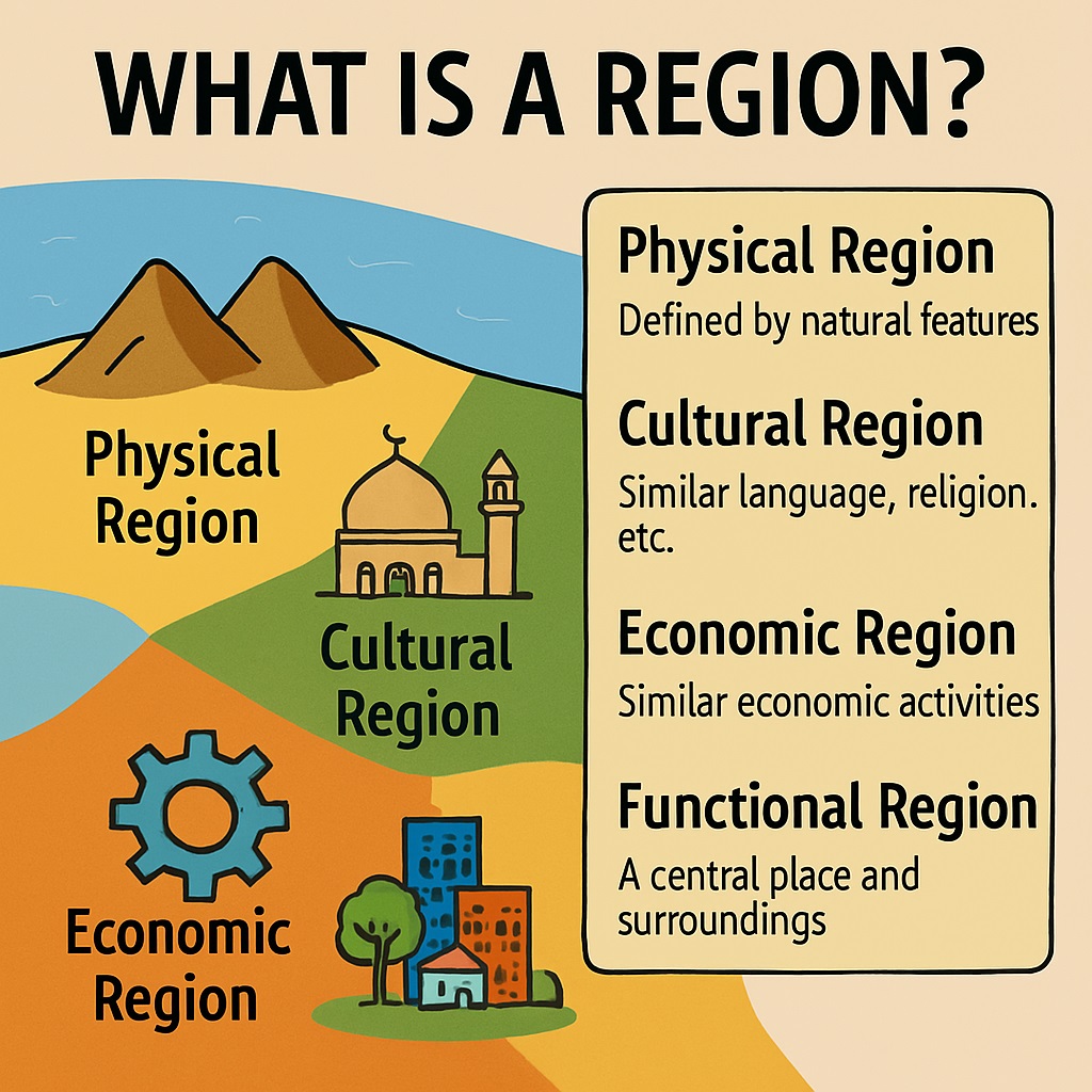
A region is a geographic area defined by specific characteristics or boundaries. These attributes can be physical (landforms, climate, resources) or cultural (language, religion, political affiliation), spanning spatial scales from local communities to the global level.
Definition of Region
In geography, a region refers to an area of land defined by physical, cultural, or administrative characteristics such as topography, climate, vegetation, language, religion, politics, economy, or history. Geographers use regions to study patterns of economic development, cultural diffusion, and environmental interactions across space.
Types of Regions
- Physical Regions: Defined by natural features like climate, topography, or vegetation (e.g., tropical rainforests, Arctic, deserts).
- Cultural Regions: Defined by shared cultural traits like language, religion, or ethnicity (e.g., the Muslim world, Spanish-speaking regions).
- Economic Regions: Defined by shared economic characteristics such as industry, trade, or resources (e.g., Rust Belt, Silicon Valley).
- Administrative Regions: Defined by political boundaries like states, provinces, or countries (e.g., European Union).
- Historical Regions: Defined by past historical events or cultural legacies (e.g., former Soviet Bloc, Roman Empire).
Why Geographers Use Regions
- Simplifying Complexity: Grouping areas with similar characteristics to study them as a unit.
- Analyzing Spatial Patterns: Identifying trends in population distribution, economic development, and cultural diffusion.
- Studying Human-Environment Interactions: Examining how human and physical factors shape specific areas.
- Facilitating Communication: Providing a common geographical language for researchers and scholars.
Characteristics of Regions
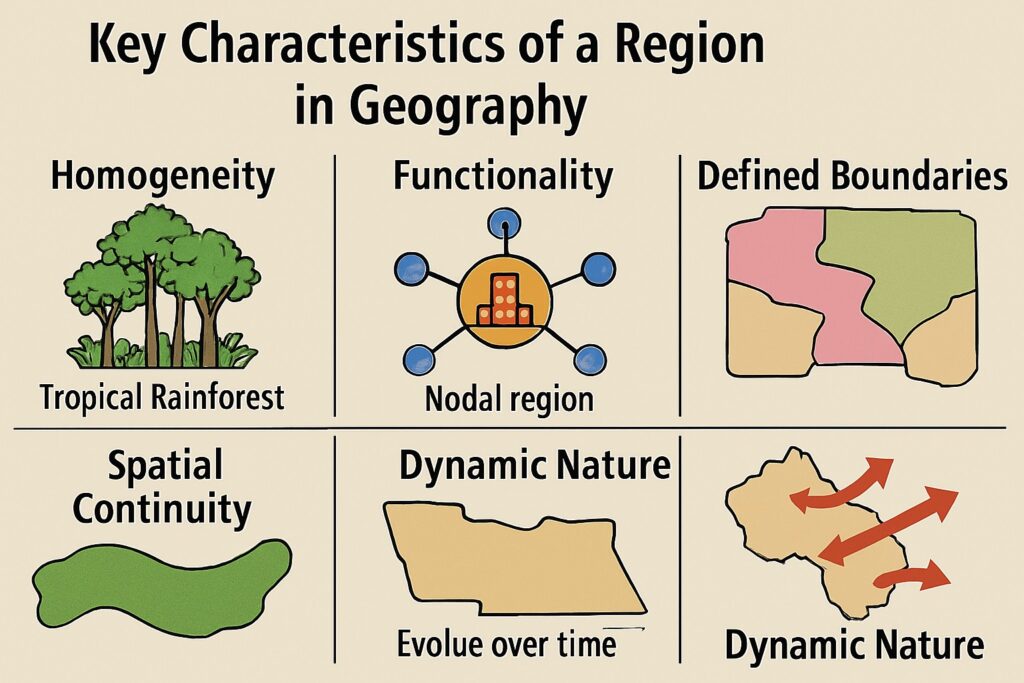
- Homogeneity: Common shared internal characteristics distinguishing the region from neighbors.
- Boundaries: Clear physical, administrative, or cultural dividing lines.
- Size: Spanning scales from local neighborhoods to global continents.
- Interconnectedness: Linked via transportation networks, trade flows, or cultural exchange.
- Functional Interdependence: Mutually beneficial economic or social relationships among parts.
- Dynamic Nature: Changing over time due to natural, social, or economic forces.
- Hierarchy: Smaller regions nested within larger geographic levels.
Structure of a Region
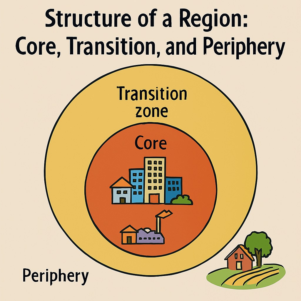
- Core: The central, most developed and powerful zone.
- Periphery: The outer edge, typically more rural and less developed.
- Transition Zone: The intermediate buffer area between core and periphery.
- Hinterland: The surrounding rural area supplying raw materials to urban centers.
- Megalopolis: A continuous urban landscape formed by merging large urban areas.
- Economic Corridors: Linear regions featuring high economic activity and transport infrastructure.
Formal, Functional, and Vernacular Regions
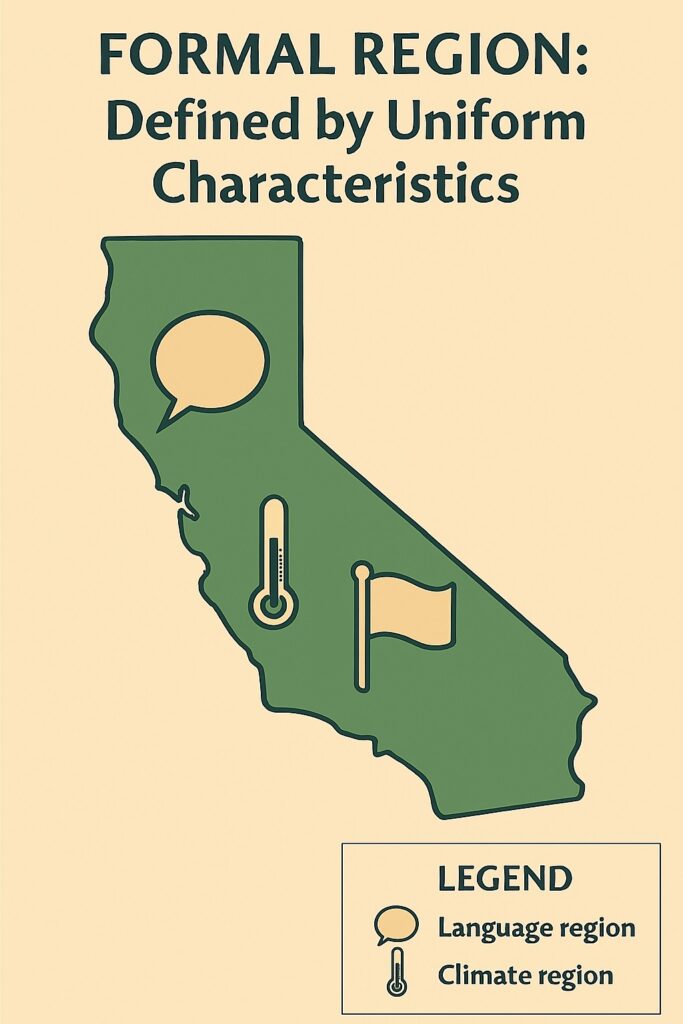
Formal Region (Uniform Region)
Defined by a specific set of boundaries or uniform criteria (physical, cultural, or administrative) where defining characteristics remain consistent across the entire area (e.g., a country, a state, or a desert).
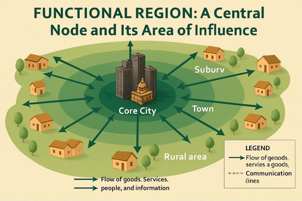
Functional Region (Nodal Region)
Defined by a central node and the functional interactions or flows of goods, people, and information radiating outward from that node (e.g., a metropolitan city and its commuting suburbs, or a transportation network hub).
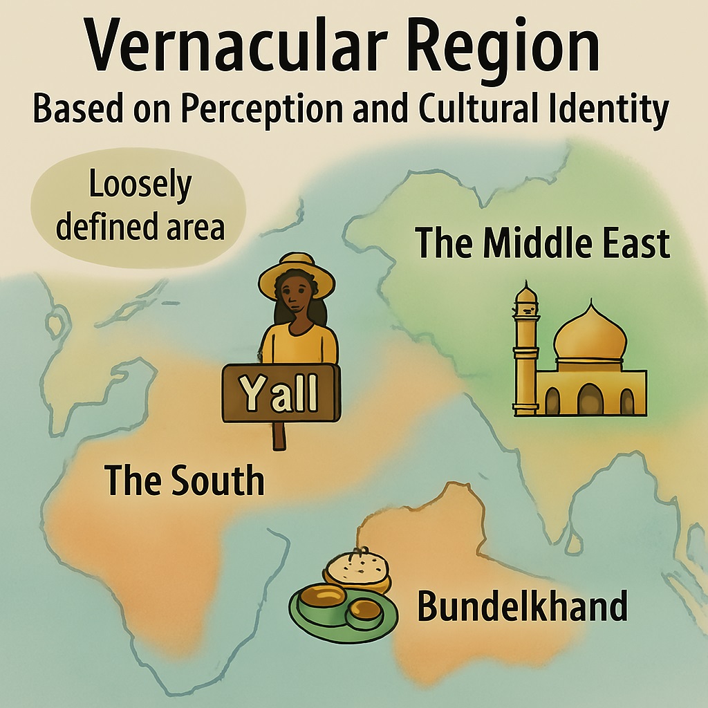
Vernacular Region (Perceptual Region)
Shaped by people's subjective perceptions, attitudes, cultural beliefs, and mental maps rather than strict administrative boundaries (e.g., "The American South" or "Silicon Valley").
Summary & Conclusion
Regions provide an essential spatial framework in geography to organize, analyze, and understand complex earthly phenomena. Whether classified as formal, functional, or vernacular, regions help decode the dynamic interactions between human societies and their physical environments.