Channel Morphology is the study of the shape, form, and structure of stream channels. Understanding the channel morphology of a river system provides valuable insights into the processes that shape the Earth’s surface and the interactions between water, sediment, and the landscape.
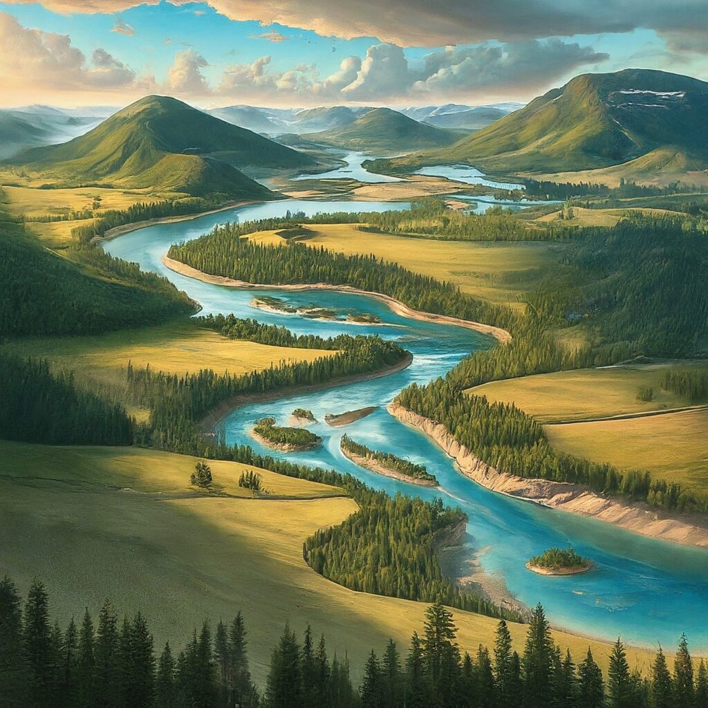
Table of Contents
What is Channel Morphology?
It is the study of the shape and form of stream channels, the channel cross-section, channel width, channel depth, and channel slope. These characteristics determine the physical properties of a stream channel, such as the flow velocity and the amount of sediment transported.
It also involves the study of the processes that shape stream channels, including erosion, sedimentation, and meandering. These processes can be influenced by factors such as the type and amount of sediment, the flow velocity, and the slope of the channel.
Importance of Channel Morphology
Channel morphology is important for understanding river systems and the processes that shape them. This information can be used to predict future changes in river systems, such as changes in channel form and sediment transport, and to develop strategies for managing river resources.
It provides valuable information for resource management, information on water resources, sediment transport, and river ecosystem health. It is important for assessing flood risk, as it provides information on the physical properties of stream channels and the potential for flooding.
It is also important for environmental planning and management, as it provides information on the potential impacts of human activities on river systems, such as the construction of dams, the removal of vegetation, and the extraction of minerals.
Methods for studying channel morphologies
Field observations: Geomorphologists make observations in the field, such as mapping and monitoring river channels, to gain a better understanding of the processes that shape river systems.
Remote sensing: Remote sensing techniques, such as satellite imagery and aerial photography, are used to study channel morphology from a bird’s-eye view.
Physical modeling: Physical modeling involves constructing small-scale models of river systems to study the physical processes that shape river channels.
Numerical modeling: Numerical modeling involves using computer simulations to study the processes that shape river channels, including erosion, sedimentation, and meandering.
Read: Geography