Denudation is a geological term used to describe the processes of erosion, weathering, and transportation that shape the Earth’s surface over time. Denudation chronology is the study of the history and timing of these processes, and it is an important field within geomorphology. Understanding the denudation chronology of a region provides valuable insights into the geology, geomorphology, and evolution of the Earth’s surface.
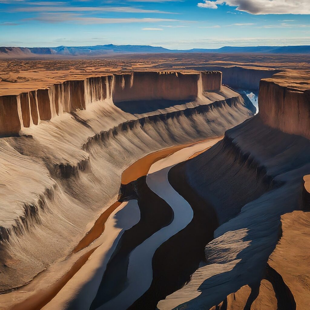
Table of Contents
What is Denudation?
Denudation is the process of wearing away or stripping down the Earth’s surface through various natural agents such as erosion, weathering, and mass wasting. It involves the gradual removal of surface materials, including soil, rock, and sediment, by physical, chemical, and biological processes.
Denudation plays a significant role in shaping landscapes over geological time scales, influencing the formation of landforms such as valleys, mountains, and plains. Factors such as climate, topography, geology, and human activities can affect the rate and intensity of denudation processes in a given area.
Agents of Denudation Process
Erosion
Erosion is the removal of surface material, such as soil and rock, by natural agents such as wind, water, and ice. This process can shape landscapes, create valleys, and form coastal cliffs and beaches.
Weathering
Weathering is the physical and chemical breakdown of rock and soil caused by environmental factors such as temperature changes, moisture, and biological activity. This process contributes to the formation of soil, and it also creates landscapes features such as rock formations and cliffs.
Transportation
Transportation is the movement of sediment from one location to another, usually by wind, water, or ice. This process is responsible for the formation of rivers, deltaic systems, and coastal sediment transport.
Significance of Denudation Chronology
Understanding the Earth’s surface evolution: By studying the history and timing of denudation processes, geomorphologists can gain a deeper understanding of how the Earth’s surface has evolved over time.
Providing information on climate change: Denudation chronology can provide valuable information on past and present climate conditions, which can help us understand how climate change has affected the Earth’s surface in the past and how it may affect it in the future.
Assessing landscape stability: Understanding the denudation chronology of a region can help geomorphologists assess the stability of the landscape and predict future changes, such as landslides and erosion.
Supporting resource management: Denudation chronology can help support resource management by providing information on the history of soil and rock formations, which is important for agriculture, forestry, and mining activities.
Methods for studying denudation chronology
There are several methods used by geomorphologists to study denudation chronology, including:
Dating techniques: Radiometric dating techniques, such as radiocarbon dating, uranium-lead dating, and luminescence dating, are used to determine the age of rocks, soils, and other materials. This information can be used to determine the timing of denudation processes and the rate of surface evolution.
Field observations: Geomorphologists make observations in the field, such as mapping and monitoring landforms, to gain a better understanding of the processes that shape the Earth’s surface.
Laboratory analysis: Geomorphologists use laboratory techniques, such as X-ray diffraction and petrographic analysis, to study the mineral composition and texture of rocks and soils, which can provide information on the history of weathering and erosion.
Historical records: Geomorphologists study historical records, such as maps, photographs, and written accounts, to gain insights into the history and timing of denudation processes.