The Koppen Climate Classification System is a widely used system for classifying the world's climates based on their temperature and precipitation patterns. It was first developed by German botanist and climatologist Wladimir Köppen in the early 20th century and has since undergone several revisions.
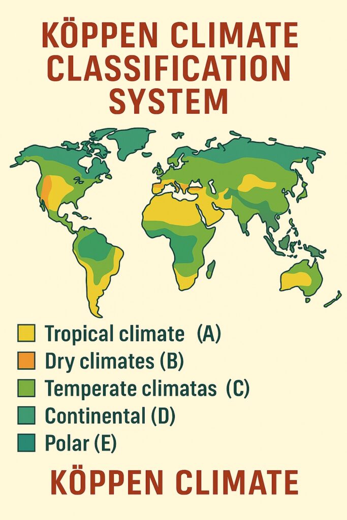
The Köppen Climate Classification System divides the world's climates into five major groups, based on the average monthly temperature and precipitation of a location. These groups are further subdivided into smaller categories based on additional criteria, such as the presence or absence of a dry season or the amount of annual rainfall.
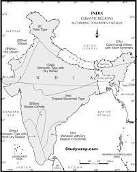
Five Primary Koppen Climate Groups
-
Tropical Climates (A): Characterized by high temperatures and high levels of precipitation throughout the year. Found near the equator where the sun's rays are most direct and intense.
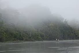
Tropical Climate -
Dry Climates (B): Characterized by low levels of precipitation and high temperatures, often found in subtropical or desert-like regions where evaporation exceeds rainfall.
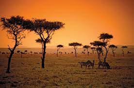
Dry Climate -
Temperate Climates (C): Characterized by moderate temperatures and precipitation levels in moderate latitudes with oceanic influence.

Temperate Climates -
Continental Climates (D): Characterized by extreme temperatures and highly variable precipitation levels in large landmasses at moderate latitudes.
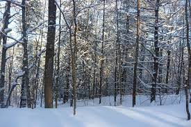
Cold Forest Climate -
Cold Climates (E): Characterized by low temperatures and low levels of precipitation in high-latitude and high-elevation regions.
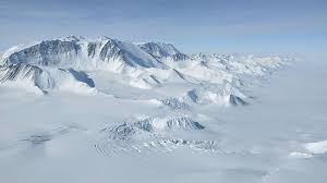
Polar Climate
Sub-classification of Koppen Climate
- m: Climates with a monsoon season causing wetter conditions during parts of the year.
- f: Sufficient rainfall throughout the year (No Rain Free Month) to support rainforest growth.
- w: Represents a dry winter season as a suffix.
- S: Represents a dry summer season as a suffix.
Detailed Climate Types & Sub-types
Found within 10 degrees of the equator. Warm to hot year-round with abundant rainfall (average temperatures $\ge$ 18°C in every month and annual rainfall totals of at least 60 mm per month). Examples include the Amazon and Congo basins.
Found near the equator with a distinct wet and dry season. Annual precipitation is typically 1000–2000 mm with a dry winter season lasting 5–7 months. Characterized by grassy plains, scattered trees, and large herbivores.

Found in equatorial areas with a distinct wet season lasting at least 7 months and a dry season lasting less than 5 months. Characterized by heavy rainfall and high humidity during the wet season, common in Southeast Asia.
Summer is dry and the region is located in the tropical region. It is rarely found. (Additional symbols: s = Summer Dry, i = Annual temp range < 5°C, g = Hottest season preceding precipitation, w' = Max precipitation in winter, w'' = Two precipitation maximums/dry seasons).
Characterized by high temperatures and low precipitation (less than 250 mm/10 inches per year). Extreme temperature ranges between hot days and cold nights. Found in North Africa, the Middle East, and southwestern US.

- BSh (Hot Semi-Arid): Receives 250–500 mm rainfall per year; drought-resistant shrubs and grasses.
- BWk (Cold Desert): Mid-latitude deserts with hot summers and cold winters below 0°C; sparse vegetation.
- BSk (Cold Steppe): Mid-latitude semi-arid grasslands receiving slightly more precipitation than BWk.
B-Type Sub-classification terms: k (Mean annual temp < 18°C), h (Mean annual temp > 18°C), a (Dry summer), w (Dry winter), n (Minimum fog).
- Cf (Humid Subtropical): Hot/humid summers, mild winters, ample year-round precipitation.
- Cw (Warm Temperate with Dry Winters): Mild to warm summers, cool to cold winters, precipitation mostly in summer.
- Ca (Hot-Summer Mediterranean): Hot, dry summers and mild, wet winters.
- Df & Dw (Humid Continental): Warm-to-hot summers, cold winters, moderate precipitation.
- ET (Polar Tundra): Extremely cold, warmest month below 10°C, annual precipitation < 250 mm.
- EF (Polar Ice Cap): Year-round freezing, warmest month below 0°C.
Evaluation & Importance of Koppen System
The Köppen system provides an intuitive framework for mapping global climate zones, heavily utilized in agriculture, land-use planning, and climate modeling. While criticized by some for oversimplifying complex regional variations and lacking account for modern global warming, it remains an indispensable tool in geography and climatology.
- Planning and management of land and natural resources
- Agriculture and food production
- Urban and regional planning
- Disaster response and risk assessment
- Climate modeling and prediction
Conclusion
In conclusion, the Koppen Climate Classification System is a widely recognized and essential tool for understanding the Earth's climatic regions. It provides a standardized and comprehensive framework crucial for geography, climatology, and environmental studies.