The Geosyncline Theory by Kober explains the formation of mountains and other major geological features on the earth’s surface. In this geography article, we will focus on the contribution of geographer, Charles Kenneth Kober. He published this theory in the year 1955.
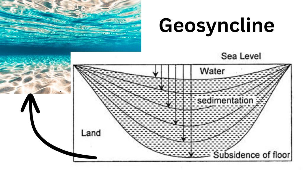
Table of Contents
What is Geosyncline?
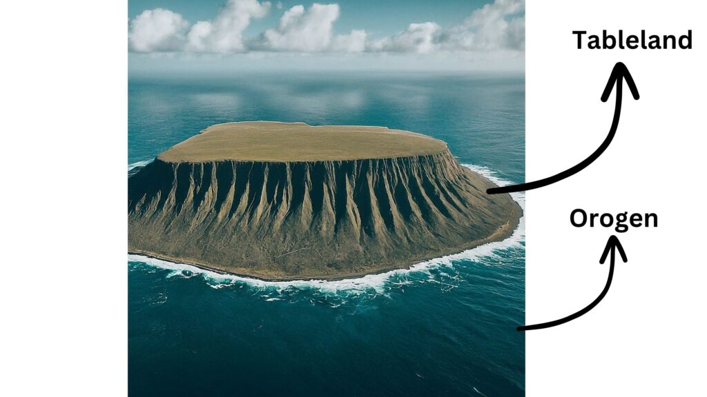
Have you ever visited an old lake or any other enclosed water body? You would notice that the sediments of the nearby area gets transported by rain water and keeps on accumulating under the water. Similar things happen on a large scale also, when the Earth landmass gets eroded and sediments getting deposited on the bottom of the sea water. This water body is called Geosyncline, Kober named this“Mobile Zone of Water” as Orogen and the “surrounding land” as the Tableland.
"Tethys Sea was an example of the Geosyncline, out of which the Himalayan range has evolved. "
So, what is the working definition of Geosyncline?
“Geosynclines are the area of long, wide, and shallow depression of the water body bordered by rigid masses and get huge sedimentation deposition from surrounding areas.” The concept was first introduced by Eduard Suess in 1883.
What is Geosyncline Theory by Kober?
The theory explains the formation of mountains and other geological features through the process of sedimentation. According to this theory, the earth’s crust is made up of a series of large depressions called geosynclines. These geosynclines are formed when sedimentary rocks, such as sand, mud, and clay, accumulate in large quantities at the bottom of the ocean. Over time, these sedimentary rocks become compacted and cemented together to form thick layers of rock. this process is called Lithogenesis. Lets understand this term, Lithogenesis in detail:
Stage 1: Lithogenesis
The stage of creation of geosynclines, sedimentation, and subsidence of the beds of geosynclines. There is negligible force of compression. As the geosyncline continues to fill with sediment, the weight of the sediment causes the crust beneath it to bend downward. This process is known as subsidence. As subsidence continues, the geosyncline begins to deepen, allowing even more sediment to accumulate. The process of subsidence can continue for millions of years until the geosyncline becomes so deep that it reaches the earth’s mantle.
"The process of subsidence can continue for millions of years until the geosyncline becomes so deep that it reaches the earth’s mantle. "
Stage 2: Orogenesis
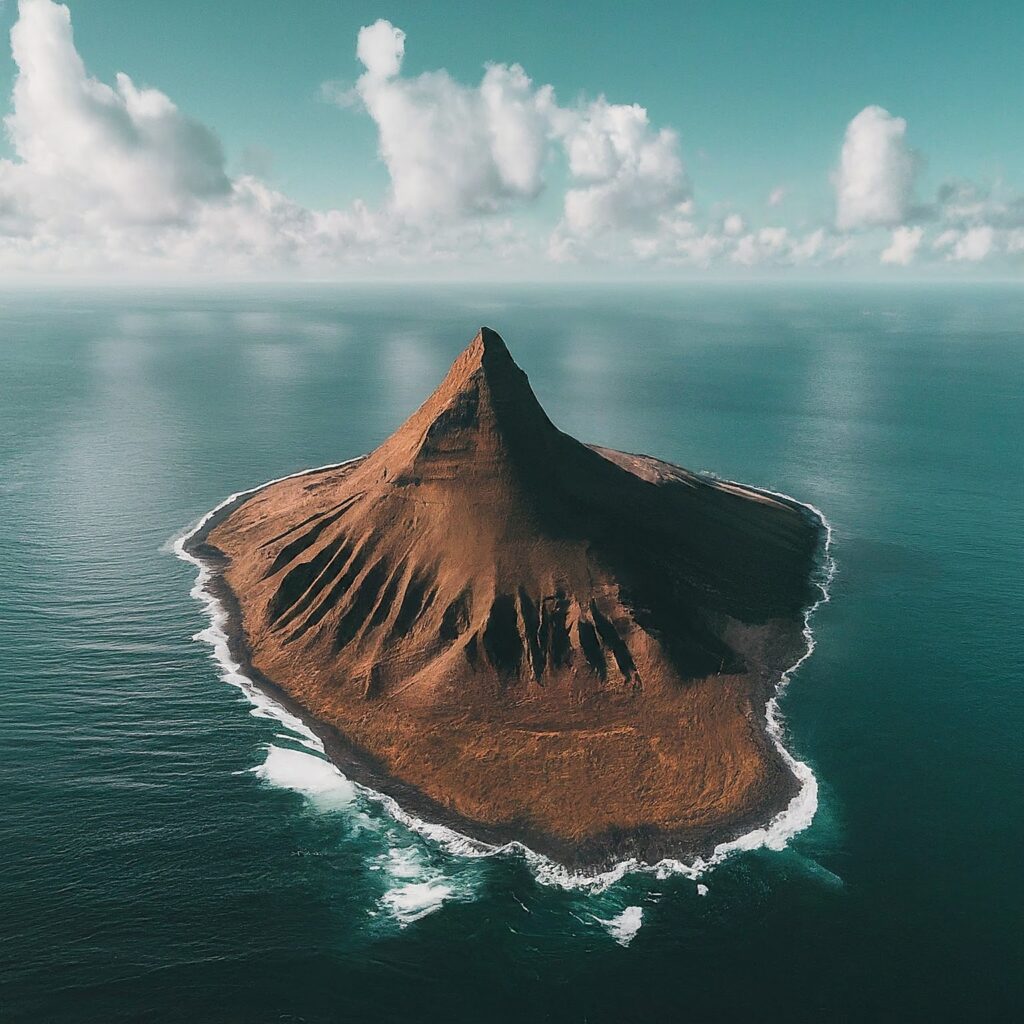
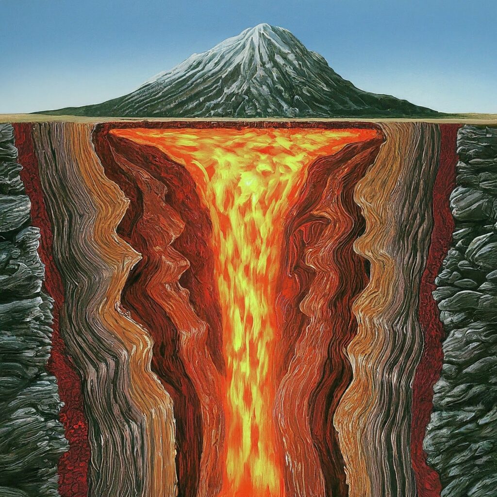
Once the geosyncline reaches the mantle, the weight of the sediment causes the underlying mantle to flow outward. This process is known as isostatic uplift. As the mantle flows outward, it causes a compressive force on the landmass (compact sediments), the overlying sedimentary rocks starts compressing and starts rising.
Stage 3: Gliptogenesis
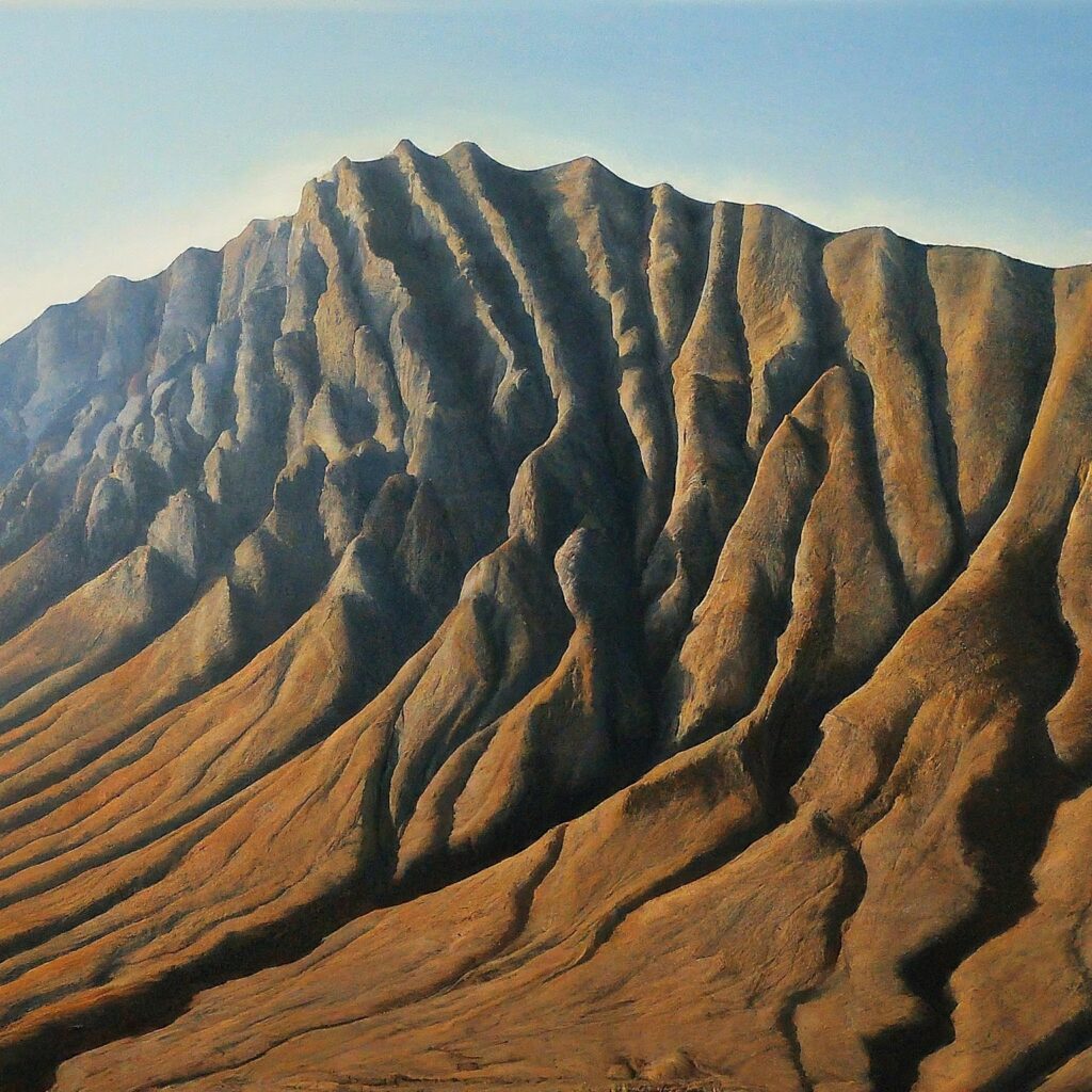
This is the stage of gradual rise of mountains, and their denudation and consequent lowering of their heights.
Significance of Geosynclines Theory by Kober
Kober’s geosynclinal theory is based on the forces of contraction produced by the cooling of the earth. He believes in the contraction history of the earth. Further, one of the most significant contributions of Kober’s work was to highlight the role of geosynclines in the formation of mineral resources.
Many of the world’s largest mineral deposits, such as gold, copper, and zinc, are associated with ancient geosynclines. Kober argued that the accumulation of sediment in geosynclines can create the ideal conditions for the formation of mineral deposits. The sedimentary rocks that make up the geosyncline can be rich in minerals, and the intense pressure and heat generated by the process of orogeny can cause these minerals to concentrate and form large deposits.
Furthermore, Kober’s work on geosyncline theory also helped to refine our understanding of the geological history of the earth. By studying the distribution and age of rocks in geosynclines, Kober was able to reconstruct the evolution of the earth’s crust over millions of years. He found that geosynclines have played a fundamental role in the formation of many of the world’s major mountain ranges, including the Himalayas, the Andes, and the Rockies.
Kober’s work also helped to explain the distribution of different rock types around the world. For example, he found that sedimentary rocks, which are typically formed in geosynclines, are most abundant in the continents, while volcanic and plutonic rocks, which are typically associated with tectonic activity, are most abundant in the oceanic crust.
Evaluation of the Geosynclinal Orogen Theory
Kober theory has certain drawbacks as well.
- The formation of the mountain requires a very large force of contraction. The force of contraction due to cooling is not enough to generate such compression.
- Kober’s theory failed to account for the movement of different plates.
- Kober’s theory somehow explains the west-east extending mountains but north-south extending mountains (Rockies and Andes) cannot be explained on the basis of this theory.
In conclusion, geosyncline theory is a significant concept in the field of geology and geography that explains the formation of mountains and other major geological features on the earth’s surface. Charles Kenneth Kober’s work on geosyncline theory was instrumental in refining and expanding the theory to include a more detailed explanation of the mechanisms that drive the process of orogeny.
Kober’s work not only helped to explain the formation of mineral resources but also helped to reconstruct the geological history of the earth. As such, geosyncline theory remains an important area of study for geologists and geographers alike.
Geosynclines Theory of Kober and Plate Tectonic Theory
| Criteria | Geosyncline Theory of Kober | Plate Tectonic Theory |
|---|---|---|
| Movement | Driven by subsidence and uplift | Driven by the movement of tectonic plates |
| Role of geological processes | Focuses on sedimentation, folding, and uplift | Emphasizes plate boundaries and associated geological processes |
| Scope of explanation | Explains the formation of mountain ranges | Explains geological phenomena like the formation of ocean basins, volcanic islands, and earthquakes |
| Historical context | Developed in the early 20th century | Discovered in the mid-20th century |