Regions are an essential component of geography, providing a way to organize and understand the world’s complexity and diversity. In this article, we will explore the different types of regions and methods of regionalization used in geography.
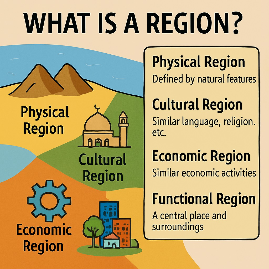
Table of Contents
What is a Region?
In human geography, a region refers to a distinct and identifiable area on the Earth’s surface that shares certain characteristics, either physical or cultural, which set it apart from surrounding areas. Regions are defined based on various factors such as geographic location, climate, landforms, language, religion, ethnicity, economic activities, political boundaries, or a combination of these elements.
Regions can be categorized into different types, including formal regions, functional regions, and perceptual regions:
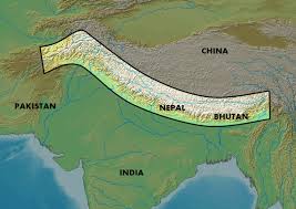
Formal Regions: Formal regions are defined by objective criteria, such as physical, biological, or cultural features. Examples of formal regions include political boundaries, climate zones, or vegetation regions. Formal regions are typically well-defined and easily mapped, making them useful for planning and analysis. Example: Andaman and Nicobar Islands, Himalayan region, Desert region (Thar Desert), Coastal region (Konkan Coast), etc.
Functional Regions
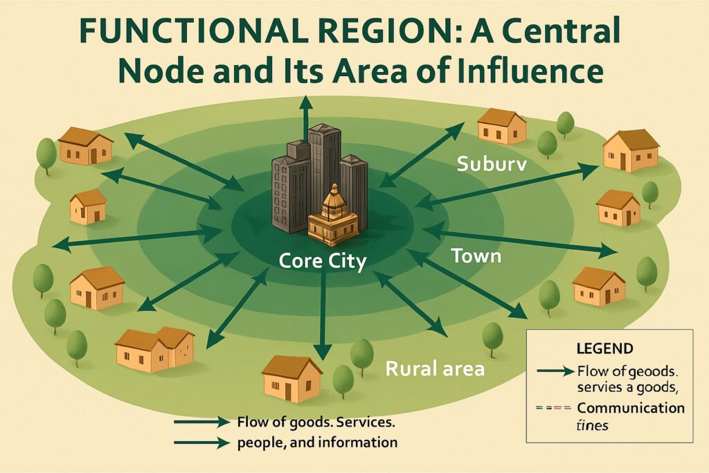
Functional regions are defined by interactions between different places or activities. Examples of functional regions include transportation hubs, economic zones, or urban areas. Functional regions are typically defined by flows of people, goods, or information, and they are less well-defined than formal regions.
Examples are:
- National Capital Region (Delhi and surrounding areas), Mumbai Metropolitan Region, Bengaluru Metropolitan Region
- Economic Regions: Silicon Valley of India (Bengaluru), Textile Hub of India (Surat)
Perceptual Regions
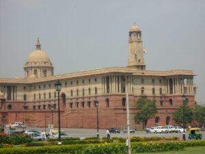
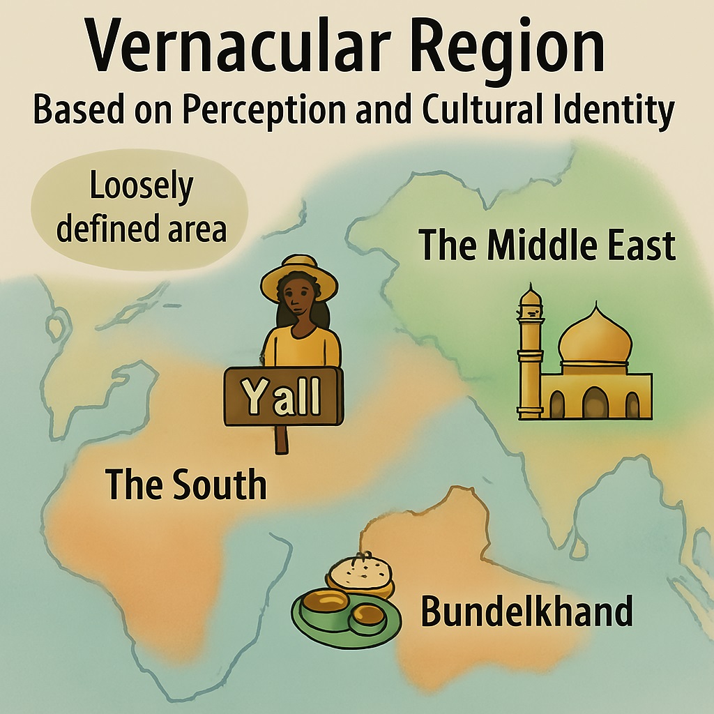
Perceptual regions are defined by people’s subjective perceptions or attitudes. Perceptual regions are typically defined by cultural factors, such as language, religion, or political beliefs. Examples: Cultural Regions: North Indian culture, South Indian culture, Bengali culture, etc.
Methods of Regionalisation
Regionalisation is the process of dividing the world into regions based on certain criteria or data. There are several methods of regionalisation, including administrative, historical, and systematic regionalisation.
Administrative Regionalisation: Administrative regionalisation is the process of dividing the world into regions based on political or administrative boundaries. Examples of administrative regions include countries, states, or provinces. Administrative regionalisation is useful for political analysis and planning.
Historical Regionalisation: Historical regionalisation is the process of dividing the world into regions based on historical events or factors. Examples of historical regions include the “Silk Road” or the “Mediterranean world.” Historical regionalisation is useful for understanding cultural or economic connections between different parts of the world.
Systematic Regionalisation: Systematic regionalisation is the process of dividing the world into regions based on objective criteria or data. Examples of systematic regionalisation include climate zones, vegetation regions, or landform regions. Systematic regionalisation is useful for understanding physical or biological phenomena and for planning and analysis.
Conclusion: In conclusion, regions are an essential component of geography, providing a way to organize and understand the complexity and diversity of the world. There are several types of regions, including formal, functional, and perceptual regions, each defined by different criteria or data.
Regionalisation is the process of dividing the world into regions, and there are several methods of regionalisation, including administrative, historical, and systematic regionalisation. The study of regions and regionalisation is critical to understanding the spatial patterns of physical and human phenomena and to planning and analysis.
Read: Geography Notes