In India, land use has undergone significant transformation due to factors like population growth, economic development, urbanisation, and policy changes. Land use refers to how land is utilized by humans—for agriculture, forestry, settlement, industry, transport, etc. These patterns are influenced by both physical factors (like climate, soil, topography) and human factors (like population pressure, technology, and policy).
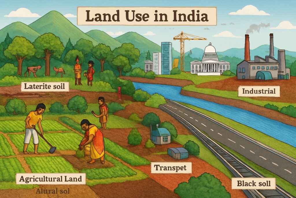
Table of Contents
Major Changes in Land Use Patterns in India
1. Decline in Forest Area (but some recovery)
- Historical context: Large-scale deforestation occurred during colonial times for timber and plantations.
- Post-independence: Forest cover declined due to agricultural expansion and urban development.
- Recent trend: Government policies like afforestation programs, Forest Conservation Act (1980), and CAMPA funds have led to slight improvements in forest area in some regions.
2. Expansion of Agricultural Land
- Increase in net sown area post-Green Revolution (1960s), especially in states like Punjab, Haryana, and Western UP.
- However, agricultural land per capita has declined due to population pressure.
- Fallow land (especially current fallow) has increased in some drought-prone regions due to water scarcity and land degradation.
3. Rapid Urbanisation and Built-up Area
- Cities and towns have expanded drastically, consuming fertile agricultural land.
- Conversion of rural to urban land is most visible around metropolitan cities like Delhi (NCR), Mumbai, Bengaluru, and Hyderabad.
- Leads to fragmentation of agricultural holdings and pressure on infrastructure.
4. Industrial and Infrastructure Development
- Large-scale projects (SEZs, highways, airports, dams) have changed land use, especially in peri-urban areas.
- Industrial corridors like Delhi-Mumbai Industrial Corridor (DMIC) have altered land use along key routes.
5. Wasteland Reclamation
- Government has invested in converting wastelands (barren, unculturable land) into productive use via soil conservation, afforestation, and irrigation.
- Programs like Watershed Management have played a role in semi-arid regions.
6. Decline in Common Property Resources
- Village commons, grazing lands, and wetlands have shrunk due to encroachment and privatization.
- This affects rural livelihoods, especially of landless and tribal communities.
Factors Driving These Changes
- Population Growth: Leads to greater demand for land for food, housing, and industry.
- Economic Development: Shift from agrarian to industrial and service-based economy.
- Technological Advancements: Mechanisation and irrigation expand cultivable areas.
- Policy Interventions: Land reforms, forest laws, and development projects.
- Climate Change and Degradation: Alter agricultural suitability and water availability.
Geographical Variation in Land Use Patterns
- Indo-Gangetic Plain: High intensity of cultivation; very low fallow or wasteland.
- Peninsular Plateau: Mixed use with patches of forest, agriculture, and mining.
- North-East and Himalayan states: Shifting cultivation and forest-based livelihoods.
- Coastal regions: Urban-industrial growth (e.g., Chennai, Mumbai), aquaculture in eastern coasts.
Conclusion
Land use patterns in India have shifted from traditional agricultural dominance to a more diversified landscape involving urbanisation, industry, infrastructure, and services. While this transformation has supported economic growth, it has also posed challenges related to sustainability, equity, and environmental conservation. As geographers, we must continue to study these trends using tools like remote sensing, GIS, and land use surveys to guide planning and policy-making for balanced regional development.
Read: Geography Notes